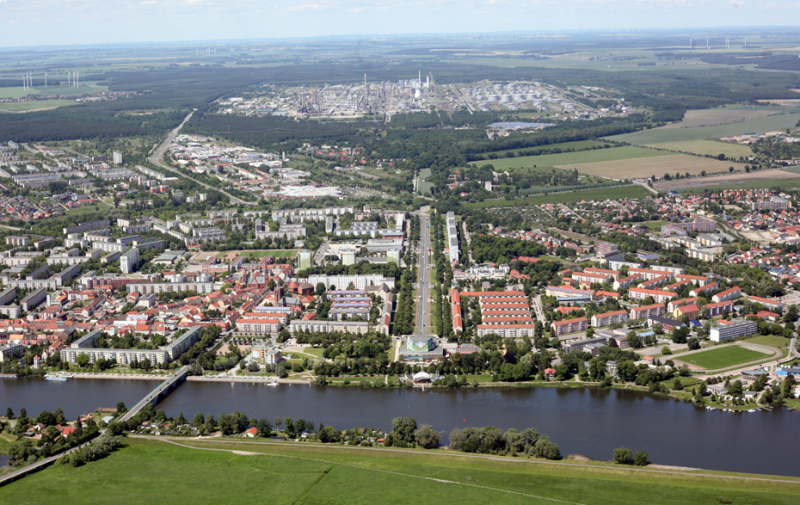
Local data

Area and population
Schwedt/Oder is divided into 5 boroughs and 21 sectors.
Area (as of December 31, 2021)
Area covered by the city: 25,218 hectares
- Buildings and open spaces: 2,466 hectares
- Recreation areas: 303 hectares
- Public thoroughfares: 955 hectares
- Agricultural lands: 14,261 hectares
- Woodlands: 5,529 hectares
- Water areas: 1,478 hectares
- Lots used for other purposes: 529 hectares
Population (as of December 31, 2022)
- Inhabitants: 34,371
- Average age: 51.1 years
General economic data
Employed persons liable to pay social insurance contributions, in total (June 2021): 13,037
Unemployment rate (December 2021): 2,782
(applied to dependent civil employable people): 10.8 %
Rate of assessment for real property tax
(as of 2022)
Land tax
a) Rate of assessment for agricultural industries and forestry (land tax A):
- Schwedt/Oder: 250%
b) Rate of assessment for real property (land tax B):
- Schwedt/Oder: 445%
Trade tax
- Schwedt/Oder: 350%

